Les Diablerets · Vers-l’Église
Chalets and valley views. Ormont-Dessus regulations require municipal permission in built-up areas, on roads, sports grounds, playgrounds and rest areas.
View this area on the mapDrones & aerial photography
The landscapes around Les Diablerets offer beautiful aerial subjects. Locate an area on the official map, then check flight conditions, municipal rules and any permissions required.
Where could you fly?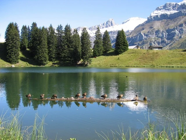
The map shows national and cantonal drone restrictions. Click a zone to read its conditions and find the competent authority. Check it again on the day of your flight, together with the DABS bulletin and municipal rules.
If the map does not load or zone details are hard to read, open the full official map. An uncoloured area alone does not guarantee that flying is permitted.
Open the official mapThese places are landscape ideas, not authorised take-off sites. Whether you may fly depends on your drone, the precise location, the date and the permissions obtained.
Chalets and valley views. Ormont-Dessus regulations require municipal permission in built-up areas, on roads, sports grounds, playgrounds and rest areas.
View this area on the mapLake, pastures and mountain scenery: check the exact area on the map and any wildlife protection zones. Confirm permission for the take-off ground and operator rules near tourist facilities.
View this area on the mapRidges and pastures between Les Diablerets and Villars. Check protected-area boundaries and the municipality concerned. Road access is seasonal; passes can experience strong gusts.
View this area on the mapOpen scenery and alpine pastures at the pass. Check local restrictions and Ormont-Dessous rules. Meadows, recreational areas and nature reserves are not automatically unrestricted flying grounds.
View this area on the mapOfficial sources checked on 2 October 2026. Restrictions may change: check current information before every flight.